Ben Schmitz · 23 September 2026
Community-Driven Flood Resilience and Heritage Conservation in Volara
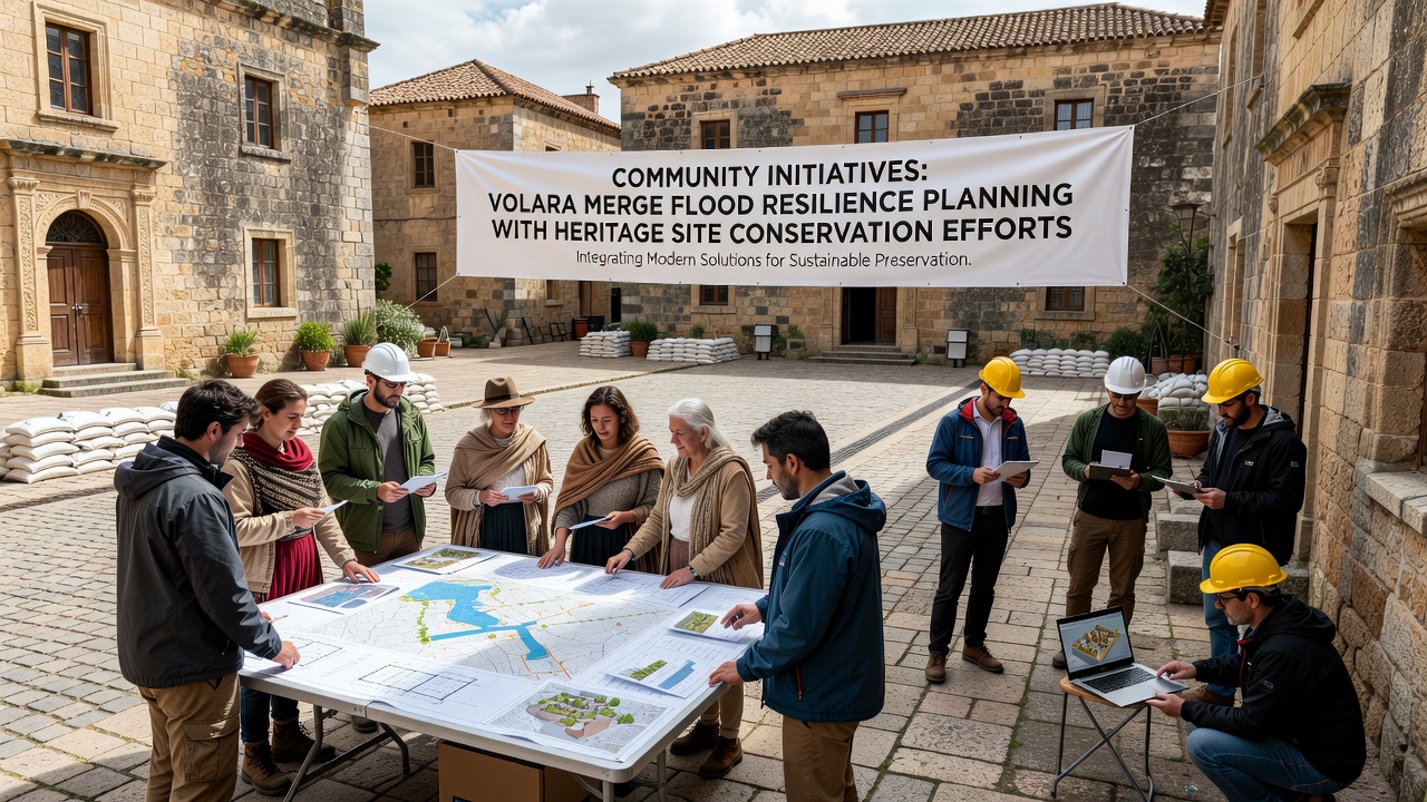
Volara communities have developed coordinated programs that link flood resilience planning directly with the protection of historic sites, and these efforts draw on local knowledge alongside technical assessments from regional authorities. Residents participate in mapping exercises that identify both vulnerable flood zones and adjacent cultural landmarks, which allows planners to design interventions that address water management while preserving architectural integrity.
Regional Flood Patterns and Heritage Vulnerabilities
Data from Italian civil protection agencies show that Volara experiences seasonal flooding tied to Alpine runoff and intense rainfall events, and these patterns place pressure on structures dating back several centuries. Observers note that many heritage buildings sit along waterways where traditional drainage systems no longer handle modern precipitation volumes, yet demolition or relocation remains off the table because of cultural value. Researchers at the University of Venice have documented how repeated inundations accelerate masonry deterioration and foundation shifts in these sites.
Local Working Groups and Planning Processes
Community committees formed in 2023 now meet monthly with engineers and conservation specialists to review proposed barriers, retention basins, and elevation adjustments. These groups use geographic information systems to overlay flood probability layers with inventories of protected buildings, which produces prioritized lists that balance immediate safety needs against long-term preservation goals. In one documented case, a working group recommended permeable paving around a Renaissance-era church instead of concrete walls, and the approach reduced runoff while maintaining visual access to the facade.
Integration Techniques Used in Practice
Planners combine nature-based solutions such as restored riverbanks with targeted reinforcement of heritage masonry, and this dual strategy appears in several neighborhoods where both flood storage capacity and structural stability improved after implementation. Local artisans contribute by adapting traditional building methods to incorporate modern waterproofing membranes that remain invisible from the exterior. According to reports from the European Environment Agency, such hybrid measures have shown measurable reductions in peak water levels during test events while satisfying conservation standards set by Italy's Ministry of Culture.
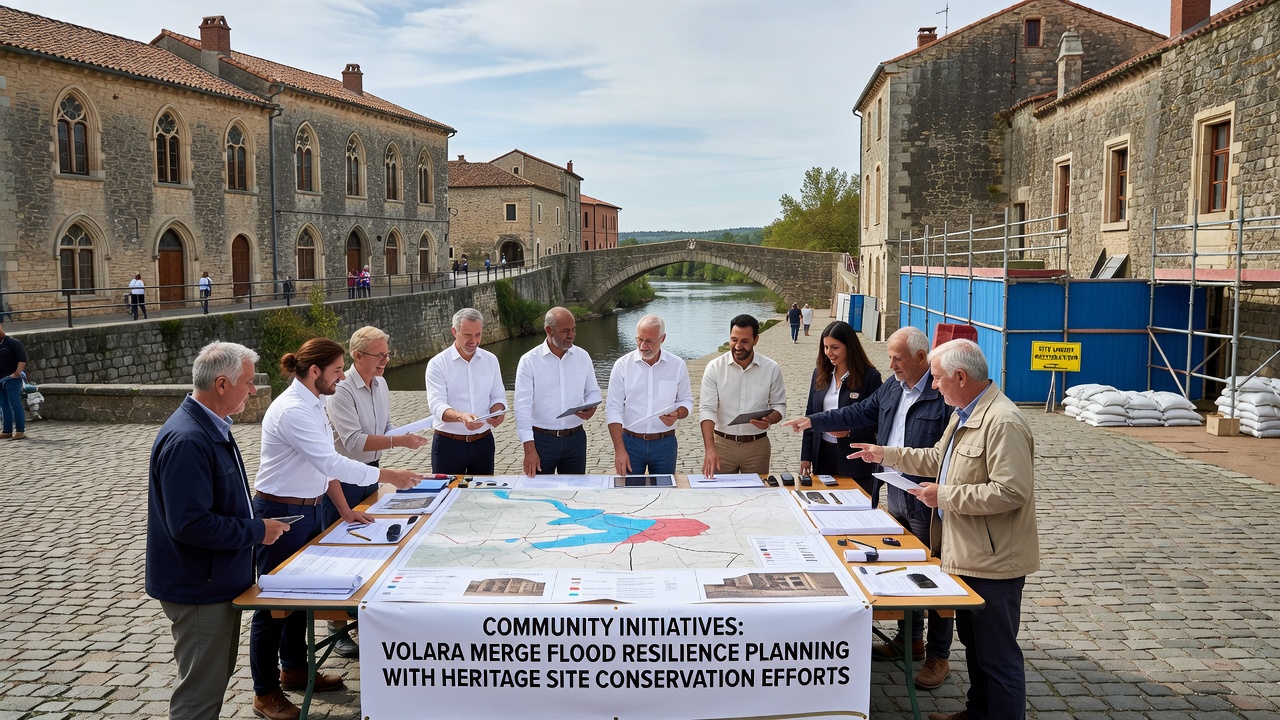
Training sessions organized by these committees teach volunteers how to install temporary flood barriers without drilling into protected surfaces, and participants practice deployment on replica sections before applying techniques to actual sites. Funding for these programs comes from a combination of regional development grants and private donations earmarked specifically for integrated projects.
September 2026 Workshop and Knowledge Exchange
Community organizers have scheduled a three-day workshop for September 2026 that will bring together representatives from Volara districts with counterparts from other Italian river valleys facing similar pressures. The program includes site visits to completed integration projects, presentations on monitoring data, and roundtable discussions about regulatory pathways that allow simultaneous compliance with flood directives and heritage laws. Participants will examine case studies from the Veneto region and compare them with approaches used in other European contexts.
Measured Outcomes and Ongoing Adjustments
Monitoring stations installed since 2024 record water levels and structural movement at selected heritage locations, and early figures indicate that coordinated interventions have lowered average flood depths by measurable margins in treated areas. Those involved continue to refine designs based on seasonal feedback, adjusting vegetation choices along river edges and testing new sealants compatible with historic stone. The process remains iterative, with each cycle incorporating observations from residents who live closest to both the waterways and the protected buildings.
Conclusion
Volara's approach demonstrates how community input can shape technical planning so that flood resilience measures reinforce rather than compromise heritage conservation. Continued documentation of results will provide data that other regions can reference when developing comparable merged strategies.