Ben Schmitz · 7 October 2026
Forgotten Aqueducts Beneath Volara Offer Clues for Drought Mitigation as Local Historians and Engineers Collaborate on Restoration Plans
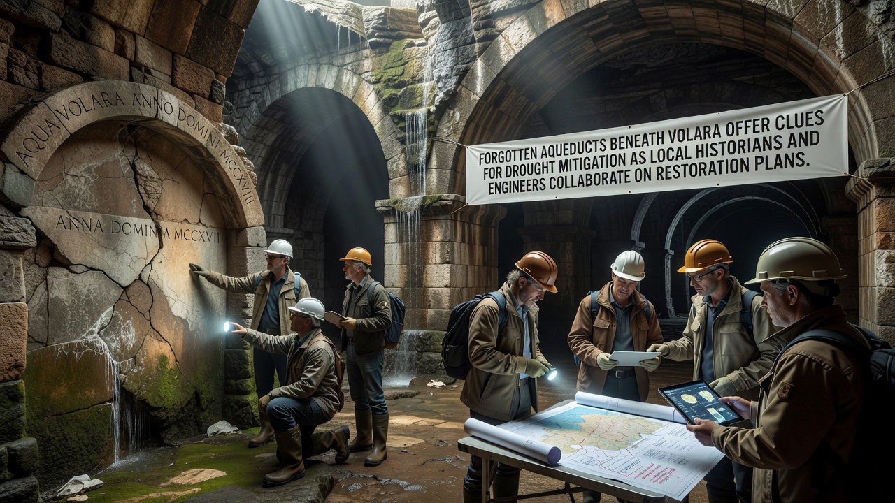
Local historians and engineers have identified a network of forgotten aqueducts running beneath Volara, and these structures now provide data on historical water management that could support modern drought mitigation efforts. The discovery began when construction crews encountered stone-lined channels during infrastructure upgrades in early 2025, prompting a coordinated investigation that combined archival research with on-site surveys. Teams mapped sections of the system that date back several centuries, revealing gravity-fed conduits designed to transport water from nearby hills into the town center. Researchers documented how the original builders incorporated settling basins and overflow mechanisms that maintained consistent flow while reducing sediment buildup. These features align with techniques recorded in regional documents from the 1600s, which describe maintenance schedules and seasonal adjustments. Data collected through laser scanning and ground-penetrating radar shows the channels remain structurally sound in several locations, with intact arches and minimal collapse.Historical Context and Technical Details
Archival records held in regional libraries indicate the aqueducts supplied public fountains and agricultural plots until the early 1900s, when newer piped systems replaced them. Historians cross-referenced property deeds and municipal ledgers to trace ownership of water rights, while engineers measured gradients and channel dimensions to calculate original flow rates. Measurements reveal average slopes of one to two percent, sufficient for reliable delivery without pumps, and capacity estimates suggest the network once moved several hundred cubic meters of water daily during peak seasons.
What's interesting is how the builders adapted the system to local geology, routing channels through stable limestone layers to avoid erosion. One study from the European Environment Agency on historical water infrastructure notes similar patterns across Mediterranean sites, where gravity systems reduced energy demands compared with modern pumping stations. Restoration plans now incorporate these observations to prioritize sections that can be reactivated with minimal reinforcement.
Current Drought Challenges and Restoration Timeline
Volara has recorded declining rainfall averages over the past decade, with groundwater levels dropping in surrounding agricultural zones. Municipal reports from 2024 list restrictions on irrigation during summer months, and local authorities have explored supplemental sources including rainwater harvesting. The aqueduct project offers an additional avenue by potentially reconnecting historical channels to existing reservoirs, thereby diversifying supply without requiring extensive new construction.
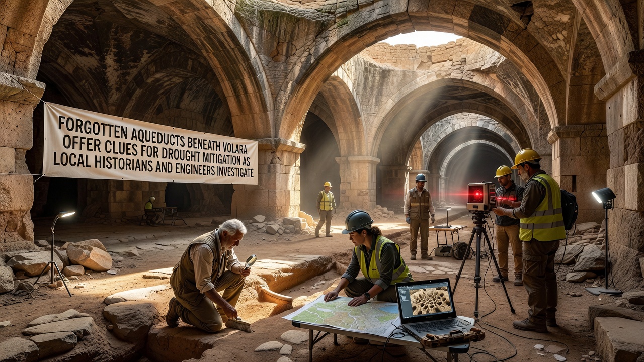 Collaboration meetings began in spring 2025, with weekly sessions alternating between archival review and field inspections. Participants include staff from the local heritage office, civil engineering consultants, and hydrology specialists from the University of Bologna. The group has divided tasks so historians verify dating through ceramic fragments and mortar analysis, while engineers assess load-bearing capacity and propose lining materials that preserve original stonework. Restoration work is scheduled to begin in October 2026 on the most accessible segments, starting with clearing debris and installing monitoring sensors.
Integration with Modern Water Strategies
Engineers have modeled scenarios in which restored sections feed into current distribution points, using the original gravity flow to offset electricity use at pumping stations. Preliminary calculations indicate potential savings of up to fifteen percent in operational energy for targeted zones. Australian government water management guidelines emphasize similar hybrid approaches that combine heritage infrastructure with contemporary monitoring, and project leads have reviewed those case studies for applicable metrics on leakage control and seasonal balancing.
Community input sessions held in late 2025 gathered feedback from residents whose properties sit above the channels. Property owners received explanations of excavation methods that limit surface disruption, and several volunteered access points for additional survey work. The process continues with environmental impact assessments required before any water reintroduction occurs.
Conclusion
The project continues to generate datasets on both historical engineering practices and current hydrological conditions. Teams plan to publish findings through open-access repositories once initial restoration phases conclude, allowing other regions facing comparable water stress to review the methods applied in Volara. Ongoing monitoring will track flow consistency and structural stability after reactivation, providing longitudinal data that can inform future heritage-based water initiatives.